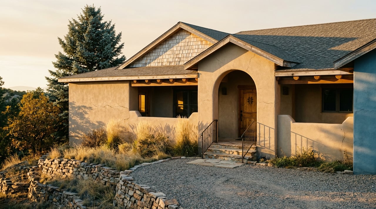
You've driven past the entrance a hundred times without slowing down. Highway 115 runs south out of the neighborhood past the Cheyenne Mountain Space Force Station and toward Fort Carson, and somewhere along that stretch, easy to miss if you're watching for the Fort Carson exit, sits the turnoff for Cheyenne Mountain State Park. Most Broadmoor residents know Seven Falls. Most know North Cheyenne Cañon. Fewer treat the state park on their own commute as anything more than scenery.
This year, roughly $13 million has gone toward land acquisitions, alongside plans to make the park more visible.
Land between the park and Highway 115
In January 2026, Colorado Parks and Wildlife moved to take title of 357 acres sitting between the park's existing boundary and Highway 115, buying the property for $8.93 million from the Trust for Public Land, which had purchased it as a go-between. The city of Colorado Springs paired that with its own purchase of an adjacent 126 acres, handing management over to the state as part of the same deal. Together, the acquisitions push the park from 2,701 acres toward roughly 3,184 acres, according to reporting from The Colorado Sun.
The reason wasn't more trail mileage for its own sake. Frank McGee, the Colorado Parks and Wildlife southeast region manager, told the Sun that the land in question sat right at what he called the park's front doorstep, and that building anything on it would run against what a park entrance is supposed to feel like. The parcel had been eyed for development. Now it isn't going to be.
McGee also told The Colorado Sun that people regularly say they drive down 115 and have no idea the park is there. The entrance can be easy to miss at highway speed, along a road that also leads to a military installation and an Army post.
The acquisition exists specifically to change that. Part of the plan is to move the park's signage and main entrance out to the highway itself, so the turnoff is more visible from the highway.
A second acquisition proposal on Cheyenne Mountain
Three months after the January purchase, the city's Trails, Open Space and Parks committee took up a second proposal: roughly 80 acres on Cheyenne Mountain's upper, forested slopes, in the vicinity of the Dixon Trail's climb toward the summit, according to Gazette reporting from April 2026. This one is smaller in acreage but larger in ambition. It's a piece of a long-standing vision for a Cheyenne Mountain Heritage Trail, a proposed 30-mile loop stitching together roughly 21 miles of historic route already on the ground, circling the mountain rather than just climbing it.
That loop still needs U.S. Forest Service approval, and park manager Jason Hagan has been clear there's no timeline yet for new trail construction once the land officially transfers. This isn't a this-fall amenity. It's a multi-year project that just took its next real step. But it tells you something about direction: the park immediately south of Broadmoor is actively growing, not holding steady, and the growth is aimed at exactly the kind of long-distance, low-crowd hiking that the neighborhood's better-known trails don't offer.
What you'd actually hike this weekend
Here's where the park earns its keep for a resident who wants two hours outside, not a research project. Cheyenne Mountain State Park's marquee route is Dixon Trail, the path up the mountain itself, and it is not a casual outing. It runs more than 15 miles round trip. The Gazette's own trail coverage calls it the park's quintessential route and is upfront that the long round trip is not for everyone.
The three alternatives the paper recommends instead, all shorter and each with a distinct personality, are worth knowing by name before you show up at the trailhead guessing:
| Trail | Distance | Character |
|---|---|---|
| Blackmer | About 3.5 miles | Forest transition zone, rusted ranch equipment along the shrubland, climbs into pine with mountain and plains views |
| Sundance | Comparable length, open exposure | Sunnier and more exposed than Blackmer, less tree cover |
| Talon / North Talon | About 7 miles | A long "stem" through the front meadow meeting a shorter loop around a rugged hogback, prime mountain views |
The same Gazette piece that mapped these routes made an observation worth sitting with: even people who do visit Cheyenne Mountain State Park tend to overlook these three in favor of Dixon, while the park as a whole gets passed over by hikers chasing busier destinations elsewhere in the city. Together, these observations point to a nearby, quieter trail system that offers another option for local hikers.
Practical details before you go
A few details worth knowing before you go:
- Entrance runs $10 to $12 per vehicle unless you're carrying a Keep Colorado Wild pass through your vehicle registration.
- Park hours run 5 a.m. to 10 p.m. daily, later than most city parks.
- Trail conditions can turn muddy in spring, worth a call to the park office at 719-576-2016 before you commit to a route.
- Check before you leash up. The Gazette's own trail notes flag Blackmer as off limits to dogs, a restriction that holds across most of the park's backcountry trails. If your weekend plan includes the dog, Seven Falls allows leashed pets. Cheyenne Mountain State Park's hiking trails generally do not.
The dog restrictions are especially worth noting if you plan to bring a pet.
The Cheyenne Mountain Run and its local support
If you want proof the park already has a relationship with the neighborhood around it, look at the race itself. On August 15, 2026, the Cheyenne Mountain Run brought 5K, 10K, and 25K courses through the park's Talon and Sundance trails, timed by Pikes Peak Road Runners and capped at 400 registrants on the 25K specifically because the Dixon Trail's narrow, steep sections can't safely handle more two-way traffic than that. The race exists as a fundraiser for the Friends of Cheyenne Mountain State Park, a 501(c)3 nonprofit whose volunteers do much of the trail maintenance work that keeps Blackmer, Sundance, and Talon in the condition described above. Registration details and course maps live on RunSignUp if you want to plan around it next August rather than discover it by accident again.
It's a small event by Colorado Springs standards. It's also the clearest evidence that the park isn't waiting to be discovered by residents who happen to read a state land use filing. There's already a calendar, already a volunteer base, already a fundraising structure built around keeping this specific stretch of trail in shape.
What changed and what didn't
None of this makes Cheyenne Mountain State Park a new discovery. It's been open since 2006, built on land the city had already contributed roughly 60 percent of at the time. In 2026, plans called for moving the park's entrance signage to the highway; the park also started building a case for a much longer trail vision around the mountain and picked up renewed attention from the same local outdoors writers who cover the trails north of downtown every week.
For a Broadmoor household, the practical upshot is simple. The stretch of Highway 115 you already drive to get anywhere south of the neighborhood now leads to a park that's bigger than it was in January, actively planning bigger still, and mapped out in enough detail that you can pick a specific loop instead of defaulting to the same crowded trailhead everyone else in the city already knows about.
You don't need a reason to live near it. You already do. You just need to actually turn in.
If you're weighing what a home near this corridor is really worth, from the trail access to the day-to-day rhythm of the neighborhood, Broadmoor Homes Co is Ben Kennedy's practice, built on living here and working this market daily. Let's Connect.